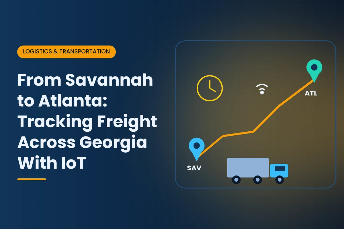
The busiest freight corridor in Georgia runs roughly 250 miles from the Port of Savannah to metro Atlanta. Containers leave Garden City Terminal by truck on I-16 and I-75 or by rail to intermodal ramps around Atlanta, then fan out to distribution centers in Henry, Clayton, Fulton, Douglas, Gwinnett and surrounding counties. Research from Georgia Tech, cited by the Georgia Ports Authority, found that routing cargo through Savannah saves more than $1,000 per container compared with West Coast gateways for inland destinations including Atlanta. That advantage depends on freight moving predictably across the state.
This guide focuses on that one corridor and the practical side of tracking freight along it: which tracking approaches fit which shipments, how to design useful geofences and alerts, how to estimate arrival times, and how to protect cargo in transit. For a broader look at visibility across modes and handoffs, see our article on IoT in Georgia logistics.
| Segment | What Happens | Common Delays |
|---|
| Garden City Terminal | Container discharged, released, picked up or loaded on rail | Availability holds, gate lines, chassis shortages |
| Savannah area roads | Trucks reach I-16 or transload facilities | Port-area congestion, construction |
| I-16 and I-75 by truck | Line haul to metro Atlanta | Traffic in Macon and south metro Atlanta, weather, crashes |
| Rail to Atlanta | Intermodal train to a metro ramp, then local drayage | Ramp dwell, pickup scheduling |
| Metro Atlanta | Final delivery to warehouses and distribution centers | Interstate congestion, dock appointment slips |
Road capacity is improving. The Georgia Department of Transportation is building the $126 million Brampton Road Connector near the port and widening sections of I-16 and I-95 in phases. Construction in the meantime adds variability that tracking data can help manage.
Different shipments justify different levels of tracking. Matching the approach to the freight keeps costs reasonable.
| Approach | How It Works | Best For | Limitations |
|---|
| Carrier and terminal events | Status updates from port, railroad and trucking systems | Routine freight | Gaps between events, depends on partners sharing data |
| Truck telematics and ELD data | Location from the truck's own systems, shared by the carrier | Full truckloads and drayage | Follows the truck, not the cargo after transfer |
| Reusable container or trailer trackers | Battery device mounted on the equipment | Company-owned trailers and dedicated lanes | Device recovery and maintenance |
| Disposable shipment trackers | Low-cost device placed in the load | High-value or time-critical freight | Per-shipment cost, limited battery life |
| Condition sensors | Temperature, humidity, shock, light or door sensors | Food, pharmaceuticals, electronics, high-value goods | Higher cost, more data to manage |
Many shippers use carrier events for most loads and add trackers to a defined share of freight based on value, sensitivity or customer requirements. Our fleet tracking primer covers telematics basics.
Truck shipments are relatively easy to follow because the truck's own telematics report location continuously. Rail shipments are different. Railroads report events such as departure and arrival, but containers can spend long stretches between updates, and the final leg depends on a separate drayage carrier. For rail moves, the most useful data points are departure from Savannah, arrival at the Atlanta ramp, availability for pickup and out-gate from the ramp. Adding a tracker to high-value rail loads fills in the gaps and shows whether a container is waiting on the ramp or already moving to its destination.
A geofence is a virtual boundary that triggers an event when a tracker or truck enters or leaves it. Good geofences turn raw location data into milestones people can act on. For the Savannah to Atlanta corridor, useful geofences include:
- Port terminal gates. Confirms when a container actually leaves the terminal.
- Transload and cross-dock facilities near Savannah. Shows when cargo is transferred from containers to domestic trailers.
- Atlanta intermodal ramps. Marks rail arrival and local pickup.
- Destination warehouse yards. Separates arrival at the property from arrival at the dock.
- Approved stop locations. Known truck stops and rest areas, so unusual stops stand out.
Keep geofences tight around terminals and docks so events are accurate, and review them when facilities change gates or layouts.
A shipment's estimated time of arrival is only as good as the data behind it. Simple distance-and-speed calculations ignore port dwell, congestion around Macon and south metro Atlanta, construction zones and driver hours of service. Better ETA tools combine live location with historical travel times for the lane, current traffic, weather and known schedule constraints. Even without advanced tools, shippers can improve planning by tracking actual transit times on their own lanes and adjusting dock schedules based on real patterns rather than standard assumptions.
Cargo theft is a persistent problem in major U.S. distribution markets, and metro Atlanta's large concentration of warehouses and truck traffic makes it a frequent concern for shippers and carriers. IoT tools reduce risk in several ways:
- Covert trackers hidden in high-value loads help recover stolen freight.
- Door and light sensors alert when a trailer or container is opened outside an approved location.
- Unscheduled stop alerts flag trucks stopping in unusual places or for too long.
- Route deviation alerts show when a shipment leaves its expected path.
- Yard monitoring at origin and destination reduces theft of loaded trailers left unattended.
Technology works best alongside good practices such as vetting carriers carefully, limiting stops with high-value loads and securing trailers in yards.
Georgia summers are hot, and trailers or containers left in the sun at terminals, ramps or yards can reach high internal temperatures. For food, pharmaceuticals, cosmetics, electronics and batteries, condition sensors provide a record of what the cargo experienced. That record supports quality decisions and claims. Refrigerated loads need continuous temperature monitoring with alerts when readings drift, especially during delays.
Weather adds another layer. Summer thunderstorms, tropical systems near the coast and occasional winter ice in North Georgia can slow traffic or close roads, so linking tracking data with weather alerts helps planners adjust appointments before trucks are stuck.
- Segment your freight. Decide which loads need trackers, which need condition sensors and which can rely on carrier data.
- Define milestones. Port out-gate, rail departure, ramp arrival, warehouse yard arrival and dock time are typical.
- Set up geofences and alerts. Alert only on exceptions such as delays, deviations or condition breaches.
- Collect carrier data. Ask carriers to share telematics or ELD location through your visibility platform.
- Measure lane performance. Track transit time, dwell and exceptions by carrier and route each month.
- Act on the data. Adjust carriers, routings, appointment times and safety stock based on what you learn.
Picture a hypothetical consumer electronics importer with a distribution center in Henry County. Most containers move by truck from Savannah, with some by rail to an Atlanta ramp. The company had frequent disputes about when loads left the port and why they arrived late, and it suffered one costly theft of a loaded trailer. It added disposable trackers to its highest-value containers, required carriers to share ELD location data and set geofences at the port, the rail ramp and its warehouse yard. Data showed that most delays happened before trucks left Savannah, not on the highway, and that rail loads waited longest at the Atlanta ramp on Fridays. The importer shifted rail bookings earlier in the week, worked with carriers on port pickup timing and used door sensors and unscheduled stop alerts on high-value loads. Late deliveries dropped and the company recovered a diverted load within hours the next time an issue occurred.
- Can you share truck location from your telematics or ELD systems with our visibility platform?
- How quickly do you report port pickup, delivery and exceptions?
- What security practices do you follow for high-value loads?
- Can you support door sensors or covert trackers in our trailers or containers?
- How do you handle delays caused by port congestion or ramp dwell?
- Tracking everything the same way. Over-tracking low-value freight wastes money, while under-tracking high-value freight increases risk.
- Too many alerts. People stop responding when every update triggers a notification.
- Ignoring the first and last mile. Most delays happen at the port and the dock, not on the interstate.
- Not sharing data with partners. Carriers and warehouses can only help if they see the same information.
Tracker costs continue to fall, making it practical to track more individual shipments. Visibility platforms are combining port, rail, carrier and tracker data into single timelines with predictive ETAs. Road improvements around the port and on I-16 should reduce some variability, while growth at the port and in metro Atlanta warehousing will add volume. Shippers that measure their own corridor performance and share data with partners will be best placed to keep freight moving reliably between Georgia's coast and its largest market.
For related reading, see our articles on Georgia's inland port network, Savannah port technology and connected sensors for supply chain visibility. To find tracking and logistics partners, browse the IoT Georgia company directory or explore logistics IoT providers in Atlanta, Savannah and Macon. Browse more of our Logistics and Transportation coverage.
Frequently asked questions
Shippers combine port, rail and carrier status events with truck telematics, reusable or disposable trackers and condition sensors, then use geofences and alerts to turn location data into milestones.
A geofence is a virtual boundary around a place such as a port gate, rail ramp or warehouse yard. When a tracker enters or leaves it, the system records a milestone or sends an alert.
Many delays occur at the port and at destination docks or rail ramps rather than on the highway. Tracking data helps identify where time is actually lost.
Covert trackers, door and light sensors, unscheduled stop alerts, route deviation alerts and yard monitoring help detect theft quickly and support recovery.
Food, pharmaceuticals, cosmetics, electronics, batteries and other temperature or shock sensitive goods benefit from sensors, especially during hot Georgia summers.
Yes. Containers can move by rail from Savannah to intermodal ramps in metro Atlanta, then by local truck to their destination. Tracking ramp dwell and pickup timing is important.
Related articles

 Logistics & Transportation