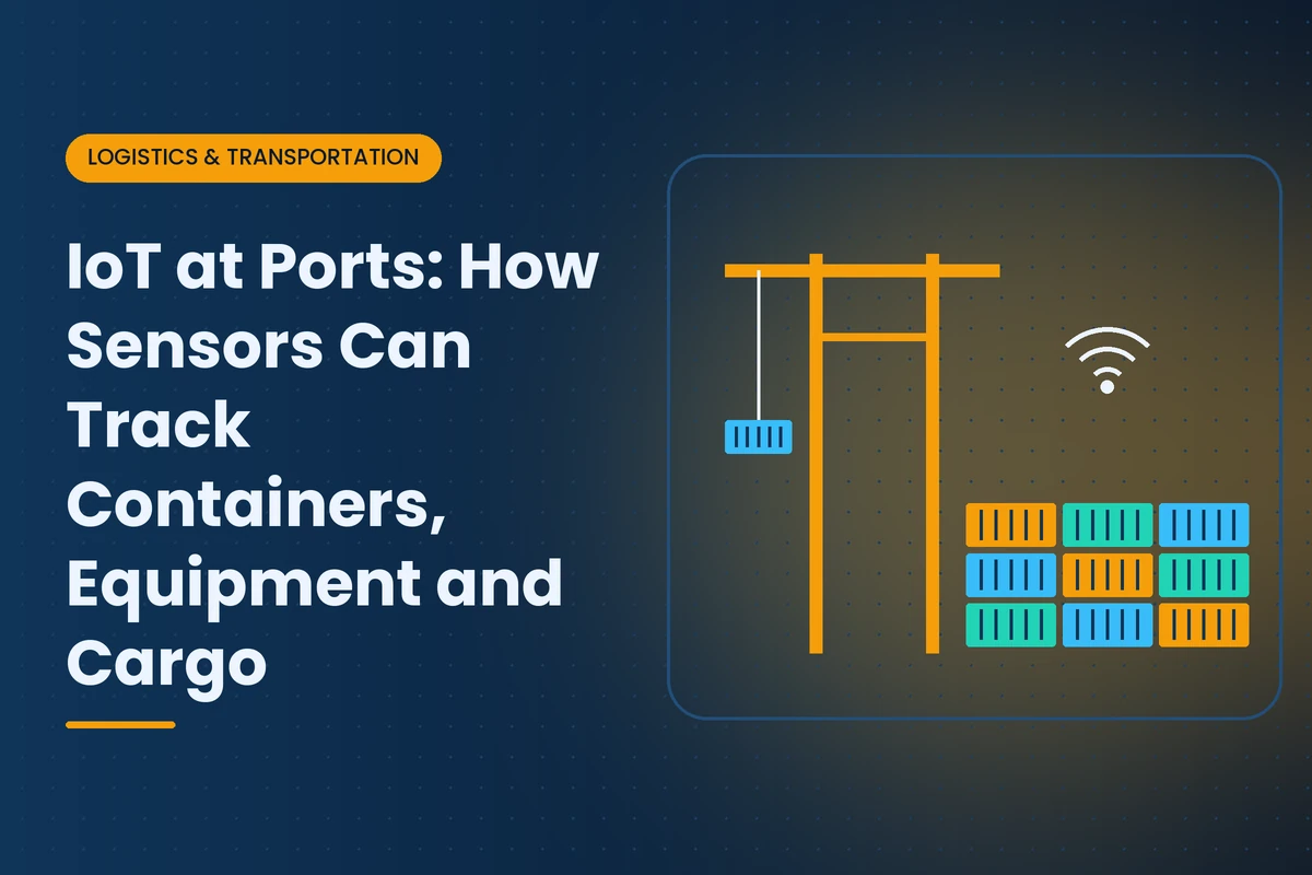
A modern container port is a dense network of sensors. Cameras read container numbers at gates and cranes. Trackers report the location of chassis and yard equipment. Refrigerated containers send temperature data. Cranes stream motor loads and wind speed. And increasingly, the containers themselves carry devices that report their location and condition throughout the voyage.
This article is a technical guide to those sensors: what each type measures, how it communicates, where it is used and what its limitations are. It draws on examples from Georgia's ports in Savannah and Brunswick, but the technologies apply to ports and terminals everywhere. For how these systems work together at Savannah, see our article on Savannah port technology.
| Category | What Is Tracked | Common Technologies |
|---|
| Containers | Identity, location, condition | OCR cameras, container trackers, RFID, door sensors |
| Equipment | Cranes, yard trucks, straddle carriers, chassis | Telemetry, GPS, vibration and load sensors |
| Cargo | Temperature, humidity, shock, tampering | Reefer controllers, data loggers, electronic seals |
| Vehicles and people | Trucks, drivers, workers | License plate recognition, RFID badges, appointment systems |
| Environment | Wind, water levels, weather, air quality | Weather stations, tide gauges, air monitors |
| Security | Unauthorized access, radiation, intrusion | Cameras, fence sensors, radiation portal monitors operated by U.S. Customs and Border Protection |
Cameras at gates, rail interfaces and on cranes read container numbers, ISO size and type codes, seal presence and damage. OCR is the foundation of automated container identification at most large terminals because it requires no device on the container. Its limitations include dirty or damaged markings and difficult lighting or weather.
Some shipping lines now equip containers with built-in trackers. Refrigerated containers have long carried remote monitoring units, and dry containers are following. Hapag-Lloyd, for example, has been equipping its dry container fleet with tracking devices and passed 700,000 installed devices on a fleet of about 1.6 million containers. These devices report location and sometimes door openings and temperature, typically using cellular networks on land and storing data at sea for upload when coverage returns. For cargo owners, this means more visibility without adding their own trackers.
Shippers can place their own trackers inside or on containers for high-value or sensitive cargo. These devices may combine GPS, cellular and low-power networks with sensors for temperature, humidity, light, shock and tilt. Battery life, device recovery and approval for transport are practical considerations.
RFID tags on containers, chassis or trucks allow fast identification at gates or specific checkpoints. RFID works well for equipment that returns regularly to the same facilities but is less common for global container tracking because containers move through many systems.
Ship-to-shore and yard cranes report moves, cycle times, motor loads, fault codes, energy use and wind speed. Wind data is a safety requirement, because cranes must stop operating above certain wind speeds, which is especially relevant on the Georgia coast during summer storms and tropical systems. Telemetry also supports predictive maintenance on hoists, gearboxes and electrical systems. Savannah's Garden City Terminal West expansion added electric rubber-tire gantry cranes, which link equipment telemetry closely with electrical systems.
Yard trucks, straddle carriers and top handlers carry GPS and telematics that report location, utilization, fuel or battery levels and impacts. Terminal operating systems use location data to dispatch the nearest available unit.
GPS trackers on chassis help pool operators locate equipment across terminals, depots and customer sites, and identify units that are idle, damaged or overdue for inspection.
Refrigerated containers carry controllers that log temperature, set points, defrost cycles and alarms. Remote monitoring systems collect this data while containers are plugged in on terminal and on vessels. The Port of Savannah can power 3,800 refrigerated containers at once, making reefer monitoring central to its operations. See our article on Georgia cold chains.
Small loggers inside cartons or pallets record temperature, humidity and shock. Some upload data in real time; others are read at destination. They provide evidence for quality decisions and claims.
Electronic seals record when a container door is opened and can report tampering in real time. They add security for high-value cargo and help prove chain of custody.
At the Port of Brunswick, one of the country's busiest ports for vehicles and heavy equipment, tracking focuses on individual units rather than containers. Vehicle identification number scanning, RFID tags, GPS-enabled lot management and inspection photos help terminal operators and manufacturers track thousands of vehicles across large outdoor lots and document their condition at each handoff.
Ports are busy places where people work near heavy moving equipment. Some terminals use worker location badges, proximity warning systems on vehicles and camera analytics to reduce collisions and enforce restricted zones. These systems must be designed with clear policies on how worker data is used, and they work best alongside training and well-marked traffic patterns.
| Network | Typical Use at Ports | Considerations |
|---|
| Wi-Fi | Terminal operations, handhelds, cranes | Interference from metal stacks, coverage gaps |
| Private LTE or 5G | Large terminals with many mobile assets | Spectrum, cost, integration |
| Public cellular | Container trackers, trucks | Coverage varies, data costs |
| LoRaWAN and low-power networks | Low-data sensors and yard assets | Limited bandwidth |
| Satellite | Containers at sea, remote locations | Cost, power use |
Stacks of steel containers are a difficult radio environment, so ports often combine several networks and design coverage carefully.
Sensor data is only valuable when it reaches the terminal operating system, maintenance systems and partners who need it. Ports increasingly use data platforms and standard event formats to share information with shipping lines, railroads, truckers and cargo owners. Because ports are critical infrastructure, sensor networks must be secured. The U.S. Coast Guard finalized maritime cybersecurity requirements in 2025 covering cybersecurity plans, incident reporting and training. Our IIoT security primer covers the basics.
Ports also monitor the environment around them. Tide gauges and current sensors support safe navigation of large ships in channels such as the Savannah River. Weather stations feed wind, rain and lightning data to crane operations and yard planning. Air quality monitors help track emissions from ships, trucks and equipment, which matters to nearby communities and regulators. These sensors rarely get attention, but they affect when ships can move and when terminal operations must slow or stop.
- Coverage at sea. Many trackers cannot report in real time far offshore and upload data when they reach coverage.
- Battery life. Frequent reporting drains batteries, so devices balance detail against longevity.
- Data ownership. Container trackers owned by carriers may share only some data with cargo owners.
- Accuracy in stacks. GPS can be unreliable deep inside container stacks.
- Integration effort. Data from many sources must be combined before it becomes useful.
- Define the decision. What will you do differently with this data?
- Choose the level of detail. Identity at checkpoints, continuous location or full condition monitoring.
- Consider ownership. Who owns the container, equipment or device, and who receives the data?
- Plan connectivity and power. Battery life and coverage determine what is practical.
- Integrate. Make sure data flows into the systems people already use.
| Stakeholder | Main Benefit |
|---|
| Terminal operators | Faster moves, safer operations, better maintenance |
| Shipping lines | Container visibility and fleet management |
| Truckers and railroads | Shorter waits and better planning |
| Cargo owners | Visibility, condition records and fewer surprises |
| Regulators and communities | Safety, security and environmental data |
Consider a hypothetical Georgia importer of electronics that ships high-value containers through Savannah. Its carrier provides basic tracking on some containers, but not consistently. The importer adds its own trackers with light and shock sensors to its highest-value shipments, combines them with terminal OCR events and carrier milestones and receives alerts if a container opens outside approved locations. When a container shows an unexpected door opening at a transshipment port overseas, the importer alerts its insurer and customer immediately, and the cargo is inspected on arrival. Later, as its carrier rolls out smart containers more widely, the importer reduces its own device use to the most sensitive cargo.
Expect more smart containers from shipping lines, more private 5G networks at large terminals, more automation of cranes and yard equipment, and more AI analysis of camera and sensor data for damage detection, safety and planning. Standard data formats will make it easier for cargo owners to receive this information. For Georgia shippers and logistics providers, the practical result will be richer visibility with less effort, as long as they are ready to use the data.
For related reading, see our articles on IoT at the Port of Savannah, Savannah's connected logistics ecosystem and export logistics from warehouse to port. To find port technology partners, browse the IoT Georgia company directory or explore logistics IoT providers in Savannah. Browse more of our Logistics and Transportation coverage.
Frequently asked questions
Ports use OCR cameras to read container numbers at gates and cranes, and increasingly containers carry built-in or shipper-added trackers that report location and condition.
A smart container has a built-in device that reports its location and sometimes door openings and temperature. Some shipping lines, such as Hapag-Lloyd, are equipping large parts of their fleets.
Cranes must stop operating above certain wind speeds for safety. Wind sensors are especially important on the Georgia coast during storms and tropical systems.
Reefer containers have controllers that log temperature and alarms, and remote monitoring systems collect that data while containers are plugged in on terminals and vessels.
Ports combine Wi-Fi, private LTE or 5G, public cellular, low-power networks such as LoRaWAN and satellite, because stacked steel containers create difficult radio conditions.
Roll-on, roll-off terminals use VIN scanning, RFID tags, GPS-enabled lot management and inspection photos to track individual vehicles and document their condition.
Related articles

 Logistics & Transportation